Today we went to hike a trail at Mount Rainier National Park. The trail we took was the Tipsoo Lake Trail. The trail itself is only an 0.8 mile loop around the lake, but it connects to the 3.6 mile Naches Peak Loop Trail.
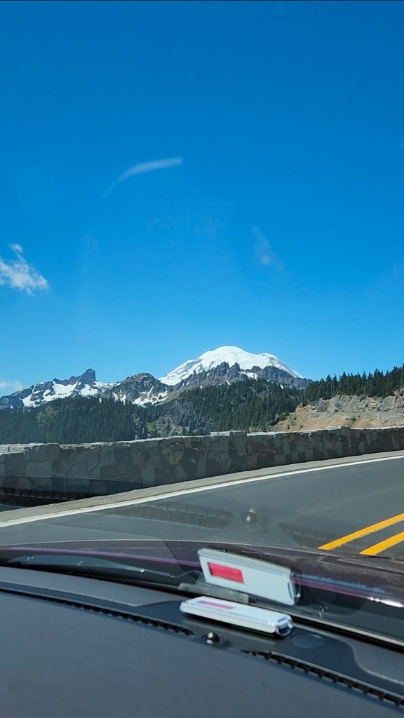
The drive to the park was amazing! Winding mountain roads new and unexpected views at every turn. We kept climbing upward in elevation to the point that my ears were beginning to pop a little!
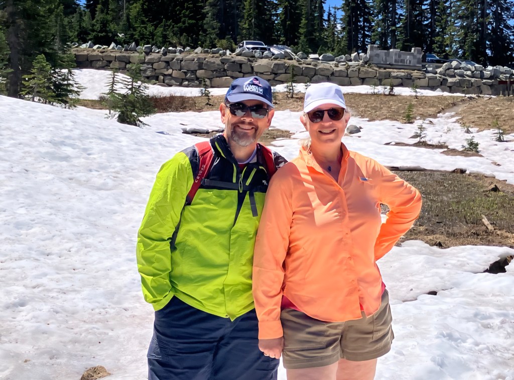
Signage to the trail head parking could be better, we initially passed it but there was a scenic overlook just feet after the parking lot so it was easy to turn around. We were in for a BIG surprise when we exited the car…it was really windy and really cold…upper 50’s! It had been so hot in the neighborhoods the last few days that we wore shorts and didn’t bring any jackets! Nothing we could do about that now, so we just bucked up and headed to the trail.
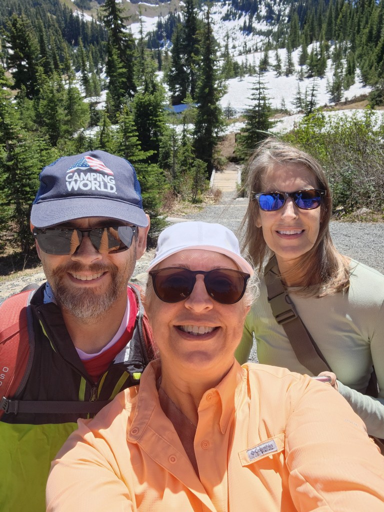
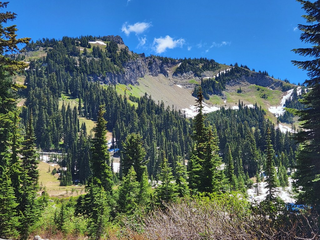
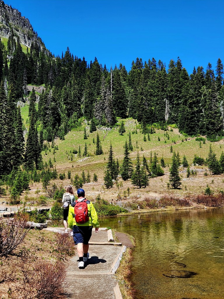
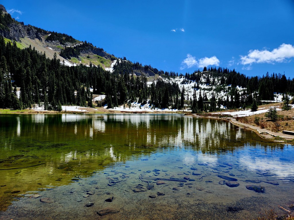
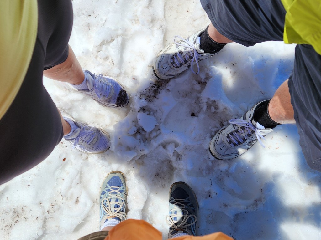
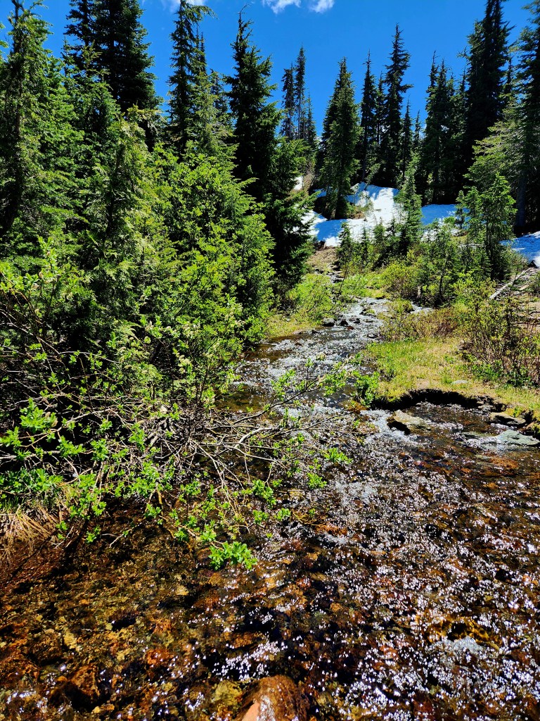
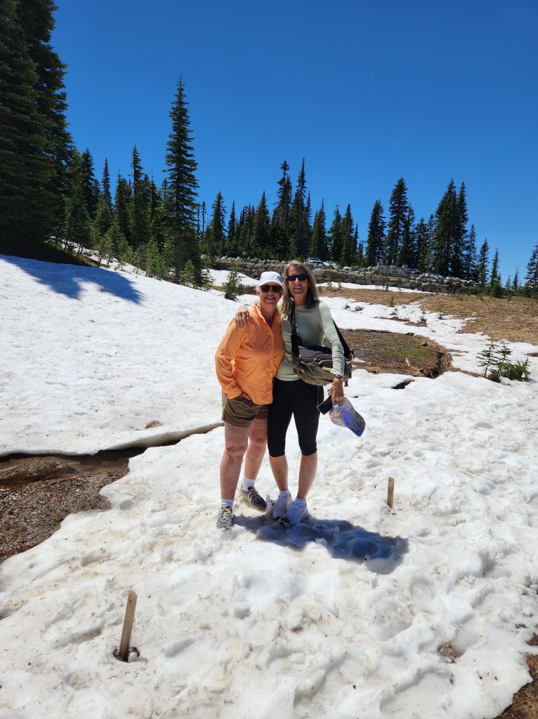
Fortunately, once we left the parking lot the wind was non-existent, we warmed up quickly once we started hiking and the temperature turned out to be perfect. Tipsoo Lake embodied what every mountain lake I ever read about; cold, clear and beautiful! There didn’t appear to be any life in the lake, perhaps because it was just too cold? There’s still melting snow on the trail which made for lots of puddles and muddy conditions.
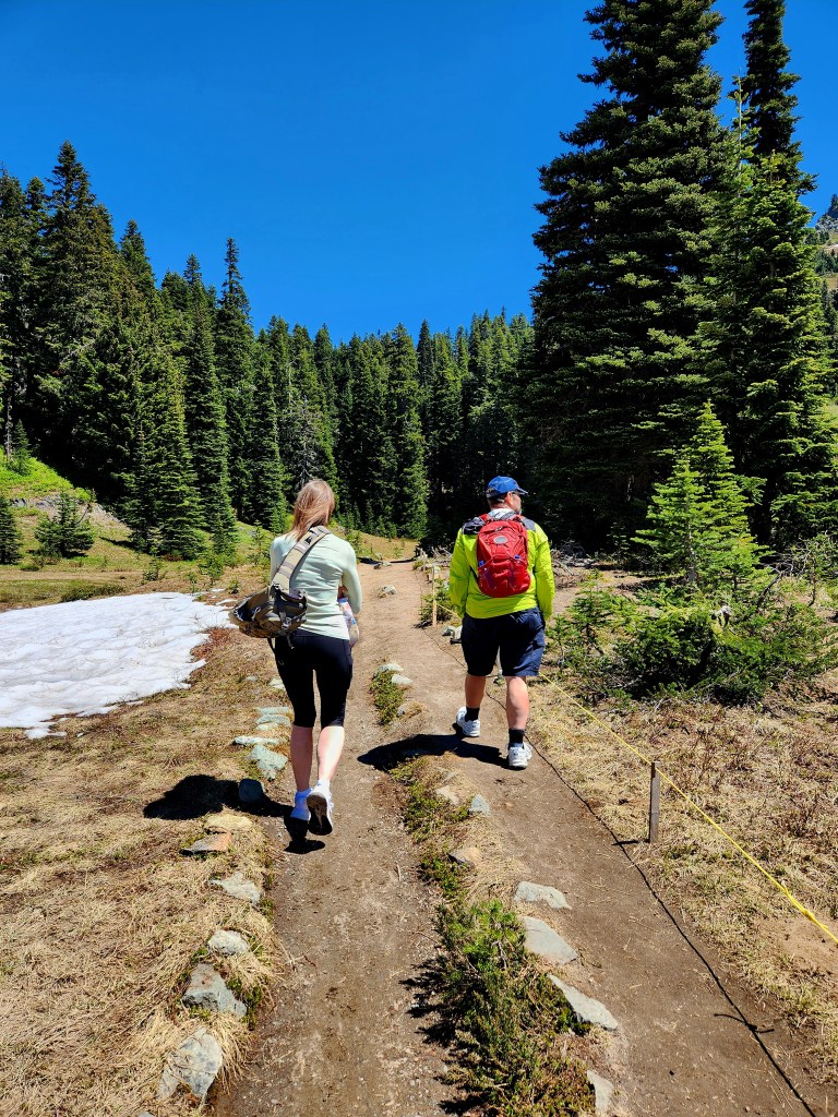
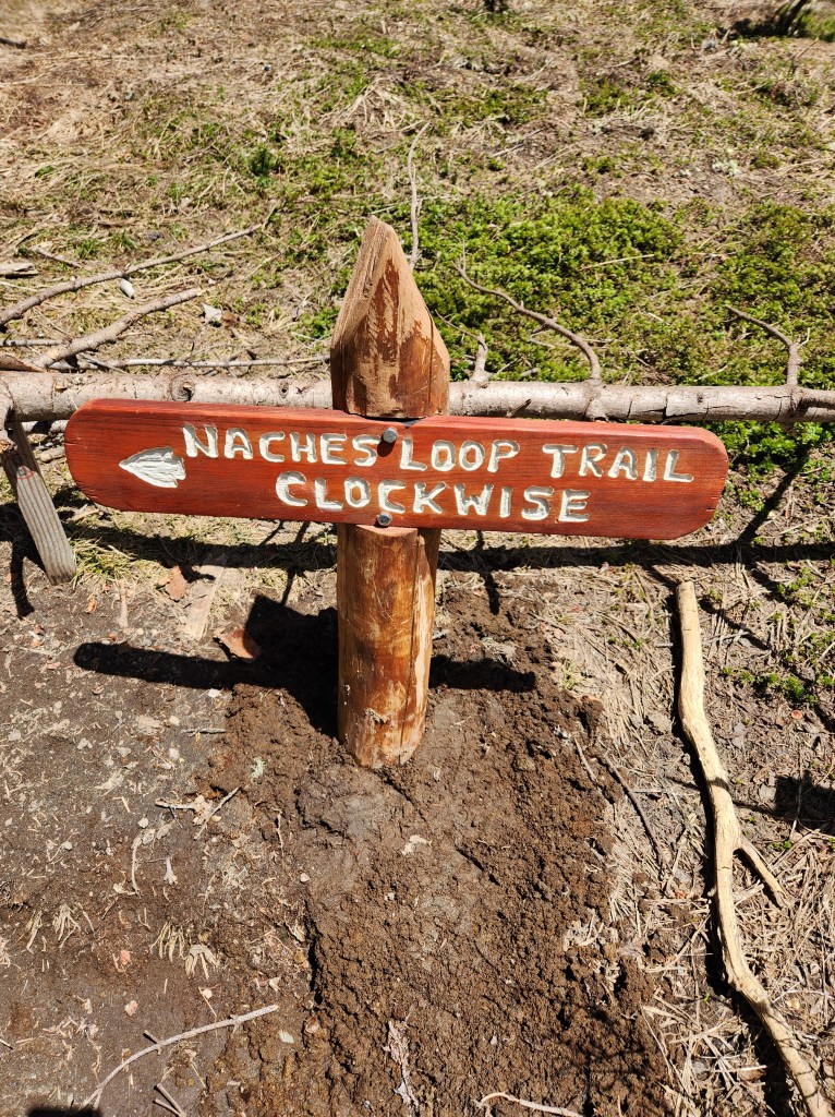
The Tipsoo Lake Trail was so short we decided to hike the connecting Naches Peak Trail too, but the trail signs were not prominent, and we were having difficulty knowing where this trail began. Fortunately, we met a park volunteer on the lake trail and asked him where to find the trail head. He was very helpful, but after giving us the quick once over…assessing our shorts and tennis shoes…said there are areas of the trail covered in snow and it may be slippery.
We decided to be adventurous and give the trail a go, giving ourselves permission to turn around at any point.
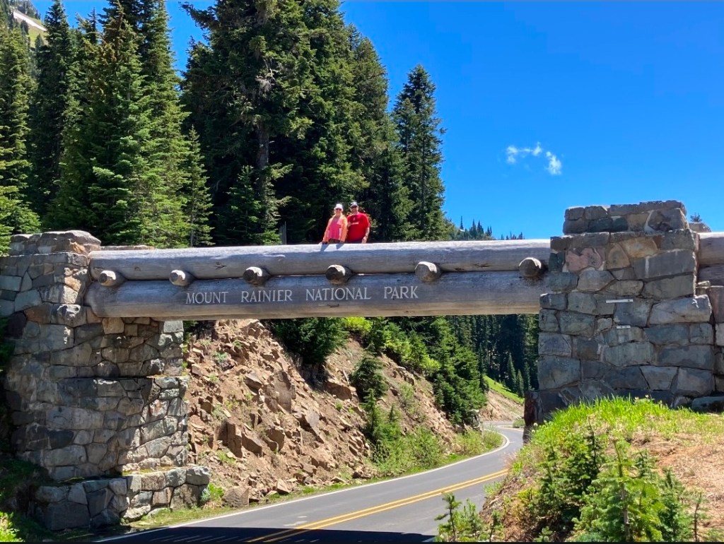
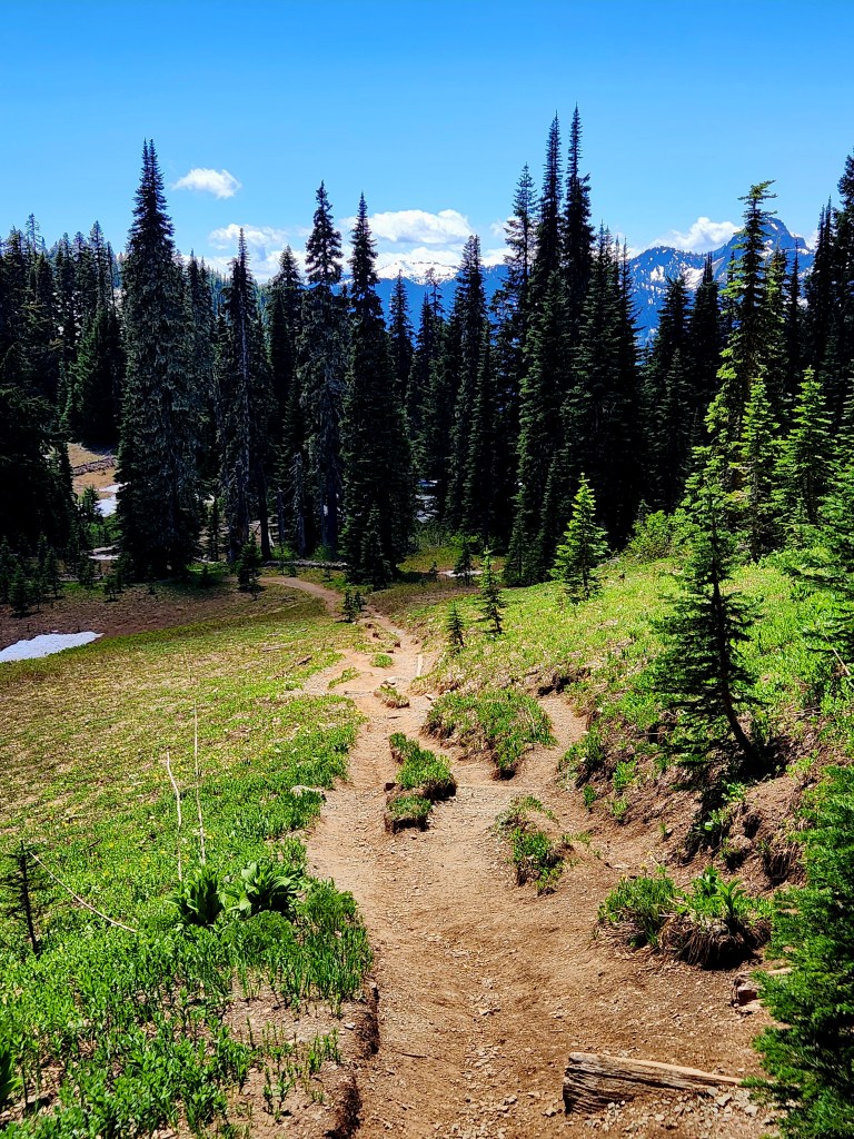
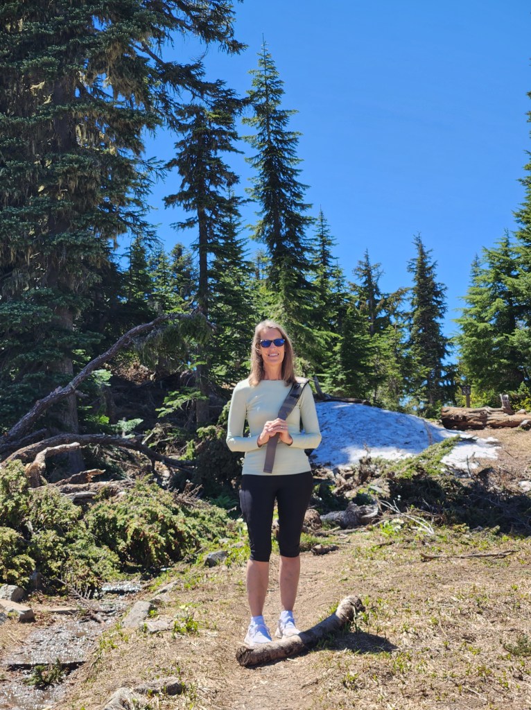
The trail was climbing upward, steeply at times, but the effort was well worth it. We were rewarded with some great views and were able to cross the bridge that went over one of the park roads.
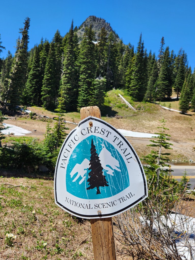
At the top of this trail, we discovered that it was a part of the 2,650-mile Pacific Crest Trail. This trail stretches from the Mexican border in Campo, California, to the Canadian border in Manning Park British Columbia. It takes the average thru hiker about five months to complete! Pretty cool to say we hiked a small portion of it!
We posed for a photo on the wooden bridge overpass. . It was at this point that we decided to turn back the way we came, making our way back to the parking lot.